Home Services 3D Laser Scanning & Point Cloud Surveying

3D Laser Scanning & Point Cloud Surveying

High-accuracy 3D laser scanning that captures precise as-built conditions for BIM modelling, renovation planning, clash verification and structural assessment.

What’s included

Our 3d laser scanning and point cloud surveying cover everything needed to deliver accurate, coordinated information on time. All work is carried out by experienced professionals using industry-standard tools.

  • Interior & exterior site surveys
  • Point cloud registration & processing
  • ReCap Pro data processing
  • E57, RCS & RCP deliverables
  • As-built verification surveys
  • Heritage & existing building recording
  • Measured building surveys
  • FARO & Trimble-compatible output
Get a Quote
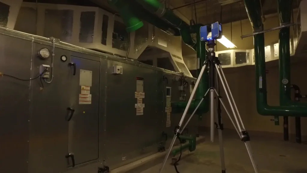
3D laser scanning point cloud

Precise as-built data

3D laser scanning captures the existing state of a building or site with millimetre-level accuracy — far faster and more reliably than traditional measured surveys. The resulting point cloud is a dense, three-dimensional record of every surface, element and void within the scan range.

This data underpins accurate BIM modelling, reliable clash verification against design intent, and authoritative as-built records for building owners and facilities managers. It is particularly valuable on refurbishment and M&E retrofit projects where accurate existing building information is essential.

From scan data to deliverables

Raw scan data is registered, cleaned and processed in Autodesk ReCap Pro. Deliverables are issued in standard formats including E57, RCS and RCP, compatible with Revit, AutoCAD, Navisworks and all major BIM platforms. Point cloud files can be issued directly or used as the basis for a Scan to BIM model.

We cover London, the South East and wider UK. All surveys are fixed-price, with a clear brief and agreed deliverable specification before we attend site.

Frequently Asked Questions

What equipment do you use for 3D scanning?
We use professional-grade laser scanning equipment compatible with FARO and Trimble workflows. Data is processed in Autodesk ReCap Pro and delivered in your required formats.
How accurate is 3D laser scanning?
Modern terrestrial laser scanners capture data to within 1–3mm accuracy at typical survey distances. Accuracy depends on scanner model, site conditions and registration quality. We specify the appropriate equipment and methodology for your project requirements.
What deliverables can I expect?
Standard deliverables include registered point cloud files in E57, RCS and RCP formats, ready for use in Revit, AutoCAD or Navisworks. We can also provide colourised point clouds, panoramic imagery and, optionally, a Scan to BIM model derived from the survey data.
How long does a survey take?
Scan time depends on the size and complexity of the building or site. A typical floor of 500–1,000m² can be scanned in a half day. Larger buildings or complex external surveys are scoped accordingly. We always provide a clear programme with your quote.

Ready to get started?

Send us your drawings, scope or a brief description of what you need. We’ll come back with a clear, fixed-price quote — no obligation.